Acclimatisation

I've been here nearly 20 hours and the appeal of loafing by a pool has evaporated as rapidly as the water splashed on the pool side in the 30 degree heat by our kids, I'm Itching to get out and look around. Outside the steel gates of our villa is a different world, Range Rovers barge past single speed bicycles and Docker mopeds (imitation Honda C90's) on the road to the villa and I find my place on the ragged edge of the road, ready to jump onto the gravel shoulder if a lorry should come by. Further along the road I take a short cut along a dusty gravel track, rammed earth walls line the track past a quarry and on up to a main road. The N8 trunk road crosses Oued Ourika on a new bridge but I ride the old partly collapsed bridge which has developed some interesting ramps and holes as it has collapsed. Once out on the main road progress is rapid with a south westerly tail wind blowing me towards the mountains, I overtake a couple of mopeds and in less than thirty minutes ten miles is behind me.

Turning right onto a minor road I thread between farm buildings and houses passing donkeys, three wheelers and mopeds, occasionally a car comes past but most of the traffic has two or three wheels. Hamlets seem like sociable places, groups of locals gather outside shops or around a broken moped and I'm the only one rushing to get anywhere. This road winds past fields of increasing size until I'm reminded of fenland roads; mile straight, ninety degree bend and another mile straight all the way to the end of the road.
Right turn again for home and I'm riding a ten mile straight road into a headwind, sunset is drawing close so I'm fighting to get back before the light goes. Progress is measured by milestones to Marrakech which I count down from the drops doing my best to get out of the headwind.
Back at the village by the semi-collapsed bridge there is a festival vibe, the scent of spices, BBQ'd meat and diesel fumes. The pavements beside the main road are filled with people and it's all lit by strings of light bulbs hanging from the the roadside shops. It's now dark though and I need to get back to the villa so I pick up a tow behind a lorry and enjoy free wheeling at thirty mph along the dual carriageway to my turnoff. On the back roads navigation is difficult, it's totally flat and it's difficult to distinguish between these single track roads. Checking my GPS a few minutes later I see that I missed my junction resulting in much improvised route finding and a couple of dead ends in dusty fields dodging thorn bushes. Following the blue arrow of the GPS in the darkness I eventually pick up a side road that leads me back to the villa, later than expected but in time for dinner.

Time for a ride to the mountains, I can see them from the balcony of the villa and they look a long away but Google maps assures me that it's only twenty or thirty miles to the foot hills. Various routes between 100 and 120 miles are planned and I set off after a breakfast of cereal and bread rolls with most of a plan. Armed with a pancake and a couple more rolls in my back pocket I get on the N9 out of Marrakech to the mountains. It feels like slow going but checking my watch I see that I'm climbing all the way past wooden shacks and new towns. As traffic thins gradient increases and the towns and villages become more rural, sheep and goats wander out into the road, barren hills cast a heavy shadow over the settlements.
 |
| shop swept away by winter rains |
 |
| Slate at the summit |
 |
| prickly pear cactii |

Sticking to the N9 keeps route finding simple and the first proper climb of the day is a relief after miles of grinding away on the plain. Verges are lined with prickly pear cactii and thorn bushes, little else appears to grow without cultivation hence the only animals I see are scraggly goats and sheep. Signs warn of steeper sections, presumably because many of the cars and vans I'd seen on the plain would struggle to make it up a 8% gradient, it's also the first time in years I've seen a cow in the back of a pickup truck. Roadside stalls display rows of local mineral stones and fossils, trade looks slow and it isn't until the Tizi ait Barka summit that I see much evidence of tourists. On the way to the summit I pass one of King Mohammed's forrest reserves where pine trees have conquered the barren scrub and the scent of pine trees fills the air. Round the next corner I glimpse a tanker climbing up to the summit, there's plenty of climbing left and I drop a gear to settle in to the rest of the climb. As I round a left hander a group of kids playing at the roadside stop to shout encouragement and one put his hand out to offer a high 5 which is returned. At the summit groups of Europeans pull up in 4x4s, take photos and continue to their next destination. A local asks if I would swap my bike for his moped, 'non merci' is my reply, I'm enjoying the challenges of the Atlas. Truck drivers pull in up here to have a drink whilst their trucks cool down, I eat a pancake and free wheel off down towards Zerkten. My plan was to turn left onto a minor road at Zerkten but when I get to the village which clings to the side of a lush, steep sided valley I can't see my turn off so I continue on expecting the turn off to be just around the corner.
 |
| high above a deep ravine |
 |
|
Five miles later I have to admit that I've probably missed the turn. My GPS doesn't have enough detail for me to work out exactly where the turn should be and I am running out of time to ride either of the routes I've planned. With data to my phone costing £5/MB I'm not about to use Google maps either so I decide to return to the summit at Tizi ait Barka. From there I race some trucks down the far side of the pass and back towards the plain. Back in the barren land of the prickly pear I take a right turn sign posted Sidi Rahhal which should drop me on to the plain in around fifteen miles, and a very empty fifteen miles they are, nothing but occasional thorn bushes, cactii and tumbleweed holding on to dirt that looks to to be resculpted by every rain storm. At the end of this road lies Sidi Rahhal, I'm reminded of a frontier town; thick smoke, earth movers and tired buses mix it up with taxis, pickups and rickshaws on the main street. I take the Marrakech road and settle in to a thirty mile spin straight across the plain.


Back to the Atlas
 |
| sculpture in the Atlas foothills |
Another ride to the Atlas but this time I have offline maps app
maps.me installed on my phone so I have a much better idea where I'm going. Today's route sets out on gravel tracks dodging the main roads and aiming for the Atlas by a cross country route. It seems slow now because more route checking is required but it pays off later in the ride. As I near the mountains I hear a moped coming up behind but it doesn't pass and eventually I look round to check I'm not imagining the sound, the kid on the moped asks me where I'm from and which Manchester football team I support (always a tricky one if you don't care). We chat in broken English for a few minutes before he turns off, I am reminded that this is why I love to explore on two wheels, in a car you are passive and paranoid, by bike approachable and adventurous. The back roads are always more of a treat for the senses, the scent of honey suckle and jasmine greet me in every village whilst villa walls overflow with brightly coloured blooms.
 |
| camels for the tourists |
Once on the main road into the mountains I'm overtaken every few minutes by tourist mini-buses and hire cars. Camels and honey vendors have set up camp in the lay-bys on the Atlas approach and villages are peppered with artists' studios. The road kicks up out of the valley and winds upward along a tributary towards the higher peaks of the Atlas. It's not evenly graded like an alpine pass which makes it difficult to pace, I stop a couple of times in the steep sided valley to take photographs and take in the sounds of the place, children playing across the other side of the river, goats on the hill above and bird song all around.


A few miles further up the lush valley is a junction, straight on is a dead end and right climbs up out of sight to a ridge, the right turn is mine. I quickly gain elevatIon out of the green valley up the red earth slopes which are mostly bare until I reach a ridge where pine trees grow. From here the road hugs the conour of the steep wooded slope, tight gravel strewn corners need concentration but the view west over the plain back towards Marrakech is distracting. Eventually the road descends out of the woods back to barren slopes, far above to the left is a peak with a radio mast on it, this road is at nearly 2000 metres so the. mast must be very high. I see goats from the road in the woods above and further along the road a boy shepherds the rest of his herd which includes several kid goats. Although not busy this road is in poor condition and the road surface at nearly every switch back and water crossing dissolves from tarmac to mud and gravel, I'm glad of some tread on my tyres as I loose grip in another corner. The descent is quick and I'm soon bouncing over speed bumps and free wheeling into a traditional mountain village, thick red earth walls, small windows and tiled clay tiled roofs. No sign of tarmac now either, just gravel and as I stop to check my route the call to prayer is sounds from the mosque I just passed.
A couple more miles through olive groves to a junction where to my surprise I join the road from Imlil which we were driven down a couple of days before on a day trip to the high Atlas. From here it is downhill across the plain all the way to Marrakech, pick a big gear and ride straight to the hazy horizon. I've no idea how far remains, it always seems further on the flat without the distractions of the mountains. I can tell that I'm getting close to Marrakech, the road improves and golf course and leisure club developments line the road. The last few miles to the centre are a typical colonial boulevard, wide road, ornate street lamps, palm trees and prestige buildings set back from the road. It's only another ten miles from here though the back streets near the palace, mixing it up with the Marrakech traffic which isn't half as scary as a Leeds rush hour, trucks and buses leave loads of room when passing and nothing no-one is in enough of a hurry to put anyone else at risk. Many of the roads have a metre wide bike lane for cycles and mopeds, I can't help thinking that contrary to first impressions this is a pretty good place to ride a bike.
 |
| street market in Marrakech |
Nearing the villa I end up riding through a deep pothole to avoid an oncoming car on a narrow back road, the hiss of air from my rear tyre that follows is one of my least favourite sounds. I park my bike up-side down to see that I can't remove the rear axle - the splined collar that should be on the axle has fallen off at some point today and now I can't remove the wheel. I can't even grab the axle with any other tool as it's in a recess, as I'm only a couple of miles from the villa I decide to ride on carefully putting as much weight as I can over the front wheel. Arriving back at the villa with a flat tyre, two broken spokes and several more loose ones I'm glad to have made it, a flat in the mountains would have been a major problem.
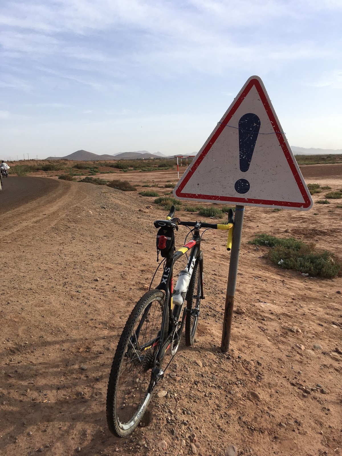
 Road to Nowhere

The backup Planet X bike is deployed and as I've been to the mountains a couple of times I fancy finding the nearest thing to desert that's within an hour and a half of here. Looking at the map heading west from our villa should take me into some pretty empty territory and an off road shortcut will save time and add interest. After only eight miles I run out of road and pick a track heading out of a village into a barren vista of red earth and rock. Other than the occasional dry river crossing this is pretty straight forward although I'm being super careful to avoid punctures as I'm down to just one spare tube and no puncture repair kit. There are tracks heading off in all directions, I'm tempted to explore them but I need to be back at the villa for lunch so I stick to the planned route. Using the offline map app
maps.me on my phone it's fairly simple navigating through this red wilderness although I'm glad to see a milestone for the P2118 once I find tarmac again. Typically the P2118 is absolutely straight to the horizon in the small hills ahead, progress marked by pot holes and milestones passed. Nothing grows here without a great deal of work, occasionally I pass a riad (courtyard house) in its own oasis created by pumping water from deep aquifers to satisfy the thirst of palm, olive and herb. Everywhere else bears more resemblance to the moon, it's difficult to even grasp the scale of the place when all you can see is rocks of varying sizes and dust.
After twenty miles or so it's good to meet a main road which will return me towards Marrakech but the sun is now high in the sky and I'm not used to riding in 30 degree heat. The air is so dry that every breath sucks the moisture from mouth and nose, I've nearly run out of water and a few miles later I stop at a roadside shop for a cold coke. Once we've worked out what variety, size and style of Coke I would like a mug of cold water is poured for me and a kid asks me how I find my way. I explain about the phone and down the cold bottle of coke, before leaving he takes a selfie with me.

It's just after midday and most people are hiding in their houses or have found a patch of shade, riding fast in this heat is not clever but I have to be back for
1pm so I press on down the N8 towards Marrakech computing milestone markers as I go, 50 km - that sounds like more than one hour...
Fortunately the villa is this side of Marrakech and I make back in time to puzzle over how to remove the rear wheel from the other bike so it can be packed up for the return flight to Manchester. Eventually I source a hacksaw and slot the other side of the axle so it can be undone with a screw driver. I'm reluctant to leave our villa where we've been treated so well, if I return to Maroc it will be to the Atlas with better maps and some pre-planned gravel road routes. There are hundreds of possible mountain riding routes in the Atlas, I just need to research them and drag some accomplices out with me next time.
Gear:
- Cannondale Slate Ultegra
- Planet X custom XLS
- Osprey trail bag with 2.5l water reservoir
 I've been here nearly 20 hours and the appeal of loafing by a pool has evaporated as rapidly as the water splashed on the pool side in the 30 degree heat by our kids, I'm Itching to get out and look around. Outside the steel gates of our villa is a different world, Range Rovers barge past single speed bicycles and Docker mopeds (imitation Honda C90's) on the road to the villa and I find my place on the ragged edge of the road, ready to jump onto the gravel shoulder if a lorry should come by. Further along the road I take a short cut along a dusty gravel track, rammed earth walls line the track past a quarry and on up to a main road. The N8 trunk road crosses Oued Ourika on a new bridge but I ride the old partly collapsed bridge which has developed some interesting ramps and holes as it has collapsed. Once out on the main road progress is rapid with a south westerly tail wind blowing me towards the mountains, I overtake a couple of mopeds and in less than thirty minutes ten miles is behind me.
 Turning right onto a minor road I thread between farm buildings and houses passing donkeys, three wheelers and mopeds, occasionally a car comes past but most of the traffic has two or three wheels. Hamlets seem like sociable places, groups of locals gather outside shops or around a broken moped and I'm the only one rushing to get anywhere. This road winds past fields of increasing size until I'm reminded of fenland roads; mile straight, ninety degree bend and another mile straight all the way to the end of the road.


 Time for a ride to the mountains, I can see them from the balcony of the villa and they look a long away but Google maps assures me that it's only twenty or thirty miles to the foot hills. Various routes between 100 and 120 miles are planned and I set off after a breakfast of cereal and bread rolls with most of a plan. Armed with a pancake and a couple more rolls in my back pocket I get on the N9 out of Marrakech to the mountains. It feels like slow going but checking my watch I see that I'm climbing all the way past wooden shacks and new towns. As traffic thins gradient increases and the towns and villages become more rural, sheep and goats wander out into the road, barren hills cast a heavy shadow over the settlements.


 Sticking to the N9 keeps route finding simple and the first proper climb of the day is a relief after miles of grinding away on the plain. Verges are lined with prickly pear cactii and thorn bushes, little else appears to grow without cultivation hence the only animals I see are scraggly goats and sheep. Signs warn of steeper sections, presumably because many of the cars and vans I'd seen on the plain would struggle to make it up a 8% gradient, it's also the first time in years I've seen a cow in the back of a pickup truck. Roadside stalls display rows of local mineral stones and fossils, trade looks slow and it isn't until the Tizi ait Barka summit that I see much evidence of tourists. On the way to the summit I pass one of King Mohammed's forrest reserves where pine trees have conquered the barren scrub and the scent of pine trees fills the air. Round the next corner I glimpse a tanker climbing up to the summit, there's plenty of climbing left and I drop a gear to settle in to the rest of the climb. As I round a left hander a group of kids playing at the roadside stop to shout encouragement and one put his hand out to offer a high 5 which is returned. At the summit groups of Europeans pull up in 4x4s, take photos and continue to their next destination. A local asks if I would swap my bike for his moped, 'non merci' is my reply, I'm enjoying the challenges of the Atlas. Truck drivers pull in up here to have a drink whilst their trucks cool down, I eat a pancake and free wheel off down towards Zerkten. My plan was to turn left onto a minor road at Zerkten but when I get to the village which clings to the side of a lush, steep sided valley I can't see my turn off so I continue on expecting the turn off to be just around the corner.


 The backup Planet X bike is deployed and as I've been to the mountains a couple of times I fancy finding the nearest thing to desert that's within an hour and a half of here. Looking at the map heading west from our villa should take me into some pretty empty territory and an off road shortcut will save time and add interest. After only eight miles I run out of road and pick a track heading out of a village into a barren vista of red earth and rock. Other than the occasional dry river crossing this is pretty straight forward although I'm being super careful to avoid punctures as I'm down to just one spare tube and no puncture repair kit. There are tracks heading off in all directions, I'm tempted to explore them but I need to be back at the villa for lunch so I stick to the planned route. Using the offline map app maps.me on my phone it's fairly simple navigating through this red wilderness although I'm glad to see a milestone for the P2118 once I find tarmac again. Typically the P2118 is absolutely straight to the horizon in the small hills ahead, progress marked by pot holes and milestones passed. Nothing grows here without a great deal of work, occasionally I pass a riad (courtyard house) in its own oasis created by pumping water from deep aquifers to satisfy the thirst of palm, olive and herb. Everywhere else bears more resemblance to the moon, it's difficult to even grasp the scale of the place when all you can see is rocks of varying sizes and dust.

 It's just after midday and most people are hiding in their houses or have found a patch of shade, riding fast in this heat is not clever but I have to be back for 1pm so I press on down the N8 towards Marrakech computing milestone markers as I go, 50 km - that sounds like more than one hour...


